File:Saidercray-map2.jpg
From NSwiki, the NationStates encyclopedia.
No higher resolution available.
Saidercray-map2.jpg (425 × 340 pixels, file size: 30 KB, MIME type: image/jpeg)
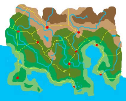
Geographical map of Saidercray
File history
Click on a date/time to view the file as it appeared at that time.
| Date/Time | Thumbnail | Dimensions | User | Comment | |
|---|---|---|---|---|---|
| current | 15:20, 2 June 2006 | | 425 × 340 (30 KB) | Avariel (Talk | contribs) | Geographical map of Saidercray |
- You cannot overwrite this file.
File usage
There are no pages that link to this file.
