File:01EasternRomanEmpireRegionMap.jpg
From NSwiki, the NationStates encyclopedia.
Revision as of 12:38, 30 December 2006 by RomanticBoyGR (Talk | contribs)
No higher resolution available.
01EasternRomanEmpireRegionMap.jpg (736 × 540 pixels, file size: 82 KB, MIME type: image/jpeg)
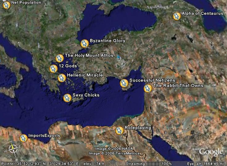
01 Eastern Roman Empire Region Map as of Dec. 30th, 2006
File history
Click on a date/time to view the file as it appeared at that time.
| Date/Time | Thumbnail | Dimensions | User | Comment | |
|---|---|---|---|---|---|
| current | 12:38, 30 December 2006 | | 736 × 540 (82 KB) | RomanticBoyGR (Talk | contribs) | 01 Eastern Roman Empire Region Map as of Dec. 30th, 2006 |
- You cannot overwrite this file.
File usage
There are no pages that link to this file.
