File:Gabalfa-area.png
From NSwiki, the NationStates encyclopedia.
No higher resolution available.
Gabalfa-area.png (409 × 297 pixels, file size: 119 KB, MIME type: image/png)
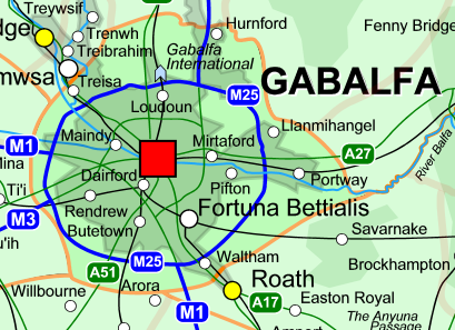
Map of Gabalfa province
File history
Click on a date/time to view the file as it appeared at that time.
| Date/Time | Thumbnail | Dimensions | User | Comment | |
|---|---|---|---|---|---|
| current | 04:12, 10 August 2007 | | 409 × 297 (119 KB) | Bettia (Talk | contribs) | Map of Gabalfa province |
- You cannot overwrite this file.
File usage
There are no pages that link to this file.
