File:Enrosol map2.1.jpg
From NSwiki, the NationStates encyclopedia.
No higher resolution available.
Enrosol_map2.1.jpg (732 × 427 pixels, file size: 53 KB, MIME type: image/jpeg)
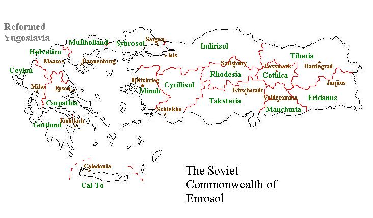
A rough political map of Enrosol, showing the provincial boudaries and capitals. The Federation of Reformed Yugoslavia lies to the north.
File history
Click on a date/time to view the file as it appeared at that time.
| Date/Time | Thumbnail | Dimensions | User | Comment | |
|---|---|---|---|---|---|
| current | 16:35, 15 October 2005 | | 732 × 427 (53 KB) | Enrosol (Talk | contribs) | A rough political map of Enrosol, showing the provincial boudaries and capitals. The Federation of Reformed Yugoslavia lies to the north. |
- You cannot overwrite this file.
File usage
There are no pages that link to this file.
