File:IoWmap.jpg
From NSwiki, the NationStates encyclopedia.
Size of this preview: 477 × 600 pixels. Other resolution: 617 × 776 pixels.
Original file (617 × 776 pixels, file size: 80 KB, MIME type: image/jpeg)
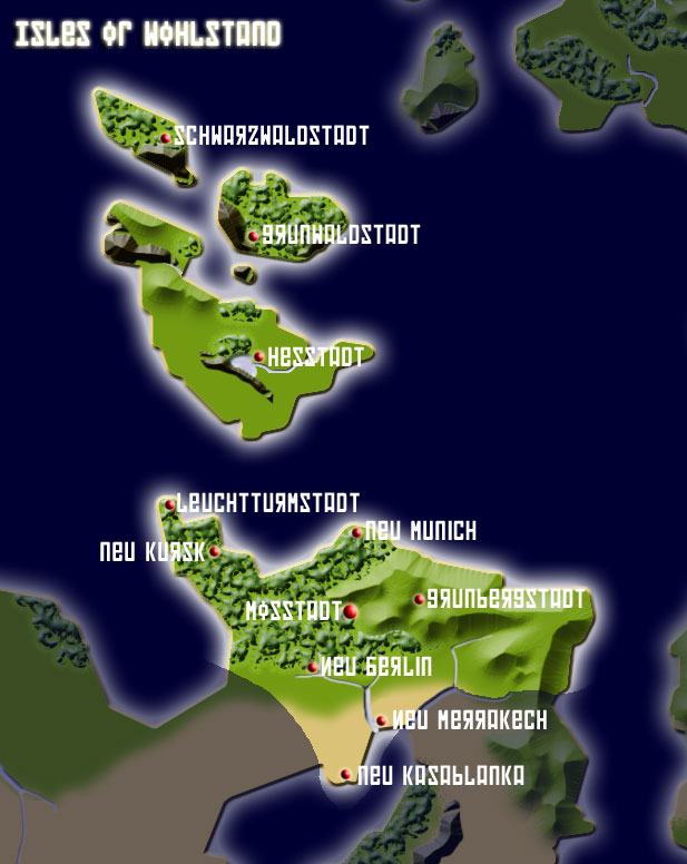
Map of the Isles of Wohlstand
File history
Click on a date/time to view the file as it appeared at that time.
| Date/Time | Thumbnail | Dimensions | User | Comment | |
|---|---|---|---|---|---|
| current | 22:40, 11 October 2005 | | 617 × 776 (80 KB) | Isles of wohlstand (Talk | contribs) | Map of the Isles of Wohlstand |
- You cannot overwrite this file.
File usage
There are no pages that link to this file.
