File:IvorilaDomesticMap.png
From NSwiki, the NationStates encyclopedia.
Size of this preview: 800 × 589 pixels. Other resolution: 1,251 × 921 pixels.
Original file (1,251 × 921 pixels, file size: 146 KB, MIME type: image/png)
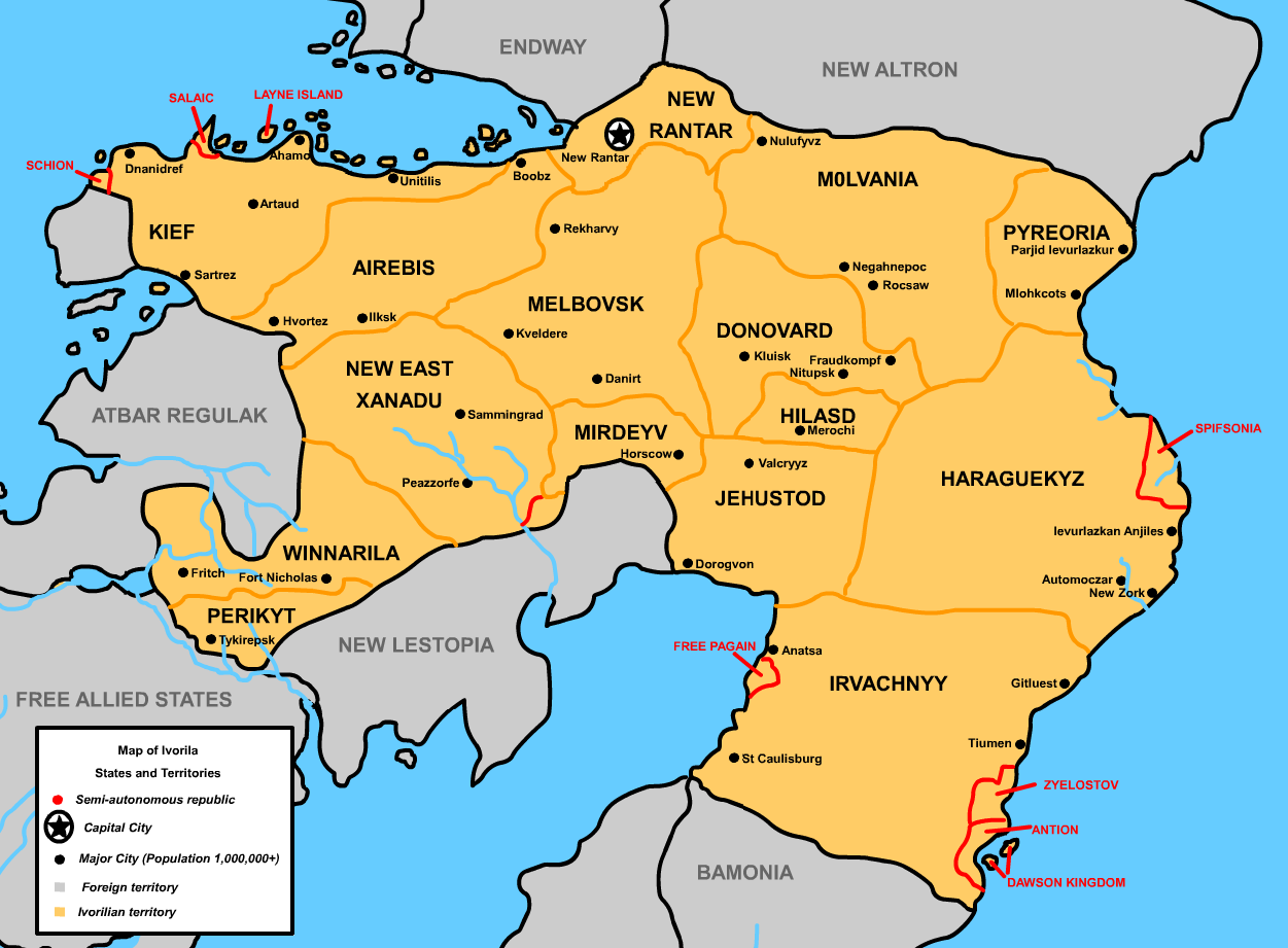
A map of the 15 states and 41 autonomous republic territories of Ivorila.
File history
Click on a date/time to view the file as it appeared at that time.
| Date/Time | Thumbnail | Dimensions | User | Comment | |
|---|---|---|---|---|---|
| current | 01:40, 26 August 2005 | | 1,251 × 921 (146 KB) | Sexy Bob (Talk | contribs) | A map of the 15 states and 41 autonomous republic territories of Ivorila. |
- You cannot overwrite this file.
File usage
There are no pages that link to this file.
