File:Map-sanadriano.png
From NSwiki, the NationStates encyclopedia.
No higher resolution available.
Map-sanadriano.png (180 × 180 pixels, file size: 5 KB, MIME type: image/png)
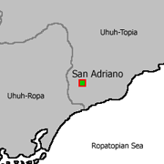
Small map showing San Adriano's position within Uhuh-Topia
File history
Click on a date/time to view the file as it appeared at that time.
| Date/Time | Thumbnail | Dimensions | User | Comment | |
|---|---|---|---|---|---|
| current | 14:40, 4 October 2006 | | 180 × 180 (5 KB) | BramP (Talk | contribs) | Small map showing San Adriano's position within Uhuh-Topia |
- You cannot overwrite this file.
File usage
The following 2 pages link to this file:
