File:Map of Davis Island with County Phillipsson Highlighted.JPG
From NSwiki, the NationStates encyclopedia.
No higher resolution available.
Map_of_Davis_Island_with_County_Phillipsson_Highlighted.JPG (285 × 214 pixels, file size: 11 KB, MIME type: image/jpeg)
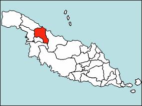
Map of Davis Island with County Phillipsson Highlighted
File history
Click on a date/time to view the file as it appeared at that time.
| Date/Time | Thumbnail | Dimensions | User | Comment | |
|---|---|---|---|---|---|
| current | 19:34, 31 July 2006 | | 285 × 214 (11 KB) | Davisisland (Talk | contribs) | Map of Davis Island with County Phillipsson Highlighted |
- You cannot overwrite this file.
File usage
The following page links to this file:
