Kensington

| |
| Kensington's coat of arms | |

| |
|---|---|
| Population - Metro |
46,205,184 55,762,467 |
| Home Country | Victoria |
| Nation | British Londinium |
| Area Code | 001 |
| Postal Code | W10 |
Kensington is the capital and largest city of British Londinium. It lies 42 metres above sea level and has a population of 46 million (55 million when the metropolitan area is counted). It is an important economic, cultural and political center in the country and in the world, and is the home of the People's Sovereign Republic's government.
Contents
Background
Founded at the beginning of the first millenium CE, Kensington is home to thirty million individuals, along with many vital political, economic, and social institutions. When first founded by Roman explorers in 2 BCE, it was referred to as Novæ Londinivm, and served as the informal head of the Londinian-city states, an alliance known as the Aseuropaeus League. After one hundred and forty four years of loose conglomeration, Novæ Londinivm noted its superiority, and invaded the entirety of British Londinium - it took centuries to push the Empire established by the Royal City back to its Metropolitan boundaries. Up until 1745, the city's political importance waned in light of British Dominion, though its societal, cultural, and economic importance still remained strong. During the War of Sovereignty, Kensington was restored as capital of British Londinium.
Since 1745, Kensington has served as the focal point for many political and economic trends, and has also served as the forefront of technological development in British Londinium.
Kensington is renowned for its cool summer fog, steep rolling hills, an eclectic mix of Victorian and modern architecture, and its peninsular location surrounded on three sides by the Pacific Ocean and Kensington Bay. Famous landmarks include the Metelli Bridge, 1 International Finance Place, Kensington Palace, the Houses of Parliament, Chinatown, and New Rome.
Geography
Kensington is located in the Home Country of Victoria, in the province of Londinium. Running through the city is Kensington Bay, which is connected to the Tiberius and Romulus rivers. To the north lie the Montaigne Mountains, which stretch from the western coast to Lake Cæsar, near Kingston. To the east are the famous Vernaccia Basin vineyards, which produce some of the finest wines in the nation. The city is mainly built on flat grassland, though the northern area has been said to be hillier than San Francisco.
Climate
Kensington has an oceanic climate with warm summers and mild winters, with rainfall spread throughout the year. The weather is moderated by proximity to the ocean, and more extreme temperatures are recorded in the inland western suburbs. The warmest month is January, with an average air temperature range of 18.6 °C–25.8 °C and an average of 14.6 days a year over 30 °C. The maximum recorded temperature was 45.3 °C on 14 January 1939 at the end of a 4 day nationwide heat wave. The winter is mildly cool, with temperatures rarely dropping below 5 °C in coastal areas. The coldest month is July, with an average range of 8.0 °C–16.2 °C. The lowest recorded minimum was 2.1 °C. Rainfall is fairly evenly divided between summer and winter, but is slightly higher during the first half of the year, when easterly winds dominate. The average annual rainfall, with moderate to low variability, is 1217.0 millimetres (47.9 in), falling on an average 138.0 days a year. Snowfall last occurred in the Kensington area in the 1830s.
Districts

Kensington's vast urban area is often described using a set of district names (e.g. Nyquist, Kylix, Prestatyn). These are either informal designations, or reflect the names of superseded parishes and city wards. Such names have remained in use through tradition, each referring to a neighbourhood with its own distinctive character, but often with no modern official boundaries (the boundaries often overlap, allowing estate agents some leeway in defining the location of a property).

One area of Kensington which does have a strict definition is the City of Kensington (usually just called The City), the largest financial district and central business district (CBD) in Mediterranica. The City has its own governance and boundaries, giving it a status as the only completely autonomous local authority in Kensington. Kensington's new financial and commercial hub is the Docklands area to the west of the City, dominated by the Kiwi Wharf complex. The City is also home to the national government.
The East End is Kensington's main entertainment and shopping district, with locations such as Superior Street, Leitrim Square, Corunna Garden and Pichiciago Circus acting as tourist magnets. The West Kensington area is known for fashionable and expensive residential areas such as Teddington, Vigée-Lebrun and Nyquist — where properties can sell for tens of millions of denarii. The average price for all properties in West Kensington is ₰894,000 (as reported by the LBG in February 2007) with similar average outlay in most of Central Kensington.
Built Environment
The density of Kensington varies, with high employment density in the central area, high residential densities in inner Kensington and lower densities in the suburbs. In the dense areas, most of the concentration is achieved with medium-rise and high-rise buildings. London's skyscrapers such as the famous LBG Tower, Tower 69 and One International Finance Centre are usually found in the two financial districts, the City of Kensington and Kiwi Wharf.
In recent years, the development of tall buildings has been encouraged in the Kensington Plan, which will lead to the erection of new skyscrapers over the next few years as London goes through a high-rise boom, particularly in the City of Kensington and Kiwi Wharf.
Other notable modern buildings include City Hall in Angstrom with its distinctive pyramidal shape, the Londinian Library, the Monument to the Conquerors of Space, and the Arch of Victory.
Kensington is too large to be overwhelmingly characterised by any particular architectural style, having accumulated its buildings over a long period of time and drawing on an inexhaustible range of influences, although it is mainly brick built, most commonly a warm orange red, often with carvings and white plaster mouldings. Many areas of the city are characterised by white stucco or whitewashed buildings.
Parks and Gardens
Often called "The Green City," Kensington has a number of open spaces. The largest of these in the central area are the People's Parks of St James' and its neighbours, Kensington Gardens and Holyfield Gardens at the western edge of central Kensington, and Cravanian Park on the northern edge.
A number of large parks lie outside the city centre, including the remaining People's Parks of Gretzky Park to the south east, and Butylate Park and Rialto Park to the south west. Lily Hill to the north of Rialto Park is a popular spot to view the city skyline. Some more informal, semi-natural open spaces also exist, including the 791-acre Hampstead Heath of north Kensington.
Society and Culture
Leisure and Entertainment
Within Kensington, the entertainment district of the East End has its focus around Leicester Square, where Kensington and world film premiers are held, and Pichiciago Circus, with its giant electronic advertisements. Kensington's theatre district is here, as are many cinemas, bars, clubs and restaurants, including the city's Chinatown district, and just to the east is Covent Garden, an area housing speciality shops and Kensington's "Avenue of Stars" which honours achievers in the entertainment industry. Capek and Sabrewing in the West End form a second, less mainstream, focus of bars, nightclubs, restaurants and galleries. Nyquist's 2km long Superior Street, extending northward, has more bars and restaurants than any other street in the PSR. It was also the first street in the PSR to have wireless enabled for its cafes.
The busiest shopping area is Bond Street, famous home to the vast Selfridges department store, a shopping street nearly 2 km long which makes it the longest shopping street in the world. The adjoining Lothario Street in Teddington is an extremely upmarket location, complimented with the Brompton area - home to the Harrods department store - to the southwest, home to fashion, jewellery, and accessories design houses. Kensington also has a high number of street markets, including Camden Market for fashions and alternative products, Portobello Road for antiques, and vintage and one off clothes, and Borough Market for organic and specialist foods.
Kensington offers a huge variety of cuisine as a result of its ethnically diverse population. Gastronomic centres include the Middle Eastern restaurants of Ajman and the sushi of Yokozuna. Notogaea offers a huge variety of restaurants including novelties such as Garlic and Shots - an entirely garlic restaurant, whilst more upmarket restaurants are scattered around central Kensington, with concentrations in Kiwi Wharf, Ixion and Parramatta. Across the city, areas home to particular ethnic groups are often recognisable by restaurants, food shops and market stalls offering their local fare, and the large supermarket chains stock such items in areas with sizeable ethnic groups.
There are a variety of regular annual events. The Indian-descended community in Ganarājya in West Kensington organises the colourful Ganarājya Carnival, British Londinium's biggest street carnival, every summer. The beginning of the year is celebrated with the relatively new New Year's Day Parade, whilst traditional parades include November's Lord Mayor's Show, a centuries-old event celebrating the annual appointment of a new Lord Mayor of the City of Kensington with a procession along the streets of the City, and June's Trooping the Colour, a very formal military pageant to celebrate British Londinium Day.
Infrastructure
Because of its unique geography — making beltways somewhat impractical — and the results of the freeway revolts of the late 1950s, Kensington has opted for European-style arterial thoroughfares instead of a large network of freeways.
Public Transport

Most Kensington residents travel by car through the system of roads, freeways and tollways (known as motorways). The most important trunk routes in the urban area form the Metroad system, which includes the Kensington Orbital Network. Kensington is also served by extensive train, taxi, bus and ferry networks.
Kensington trains are run by CityRail, a corporation of the Londianian Provincial Government. Trains run as suburban commuter rail services in the outer suburbs, then converge in an underground city loop service in the central business district. In 2005, CityRail introduced a revised timetable and employed more drivers. A large infrastructure project, the Clearways project, is scheduled to be completed by 2010.
Kensington has one privately operated light rail line, the Metro Light Rail, running from Central Station to Lilyfield along a former goods train line. There is also a small monorail which runs in a loop around the main shopping district and Zeffirelli Harbour. Kensington was once served by an extensive tram network, which was progressively closed in the 1950s and 1960s. Most parts of the metropolitan area are served by buses, many of which follow the pre-1961 tram routes. In the city and inner suburbs the state-owned Kensington Buses has a monopoly. In the outer suburbs, service is contracted to many private bus companies. Construction of a network of rapid bus transitways in areas not previously well served by public transport began in 1999, and the first of these, the Liverpool-Parramatta Rapid Bus Transitway opened in February 2003. Kensington Ferries, another State government-owned organisation, runs numerous commuter and tourist ferry services on Kensington Bay and the Parramatta River.
Airports
Kensington International Airport (KIA), though located 13 miles (21 km) south of the city proper, is under the jurisdiction of the City and County of Kensington. It is a hub for Virgin Victoria, its largest tenant. KIA is an international gateway, with the largest international terminal in the Pacific. The airport is built on a landfill extension into Kensington Bay. During the economic boom of the late 1990s, when traffic saturation led to frequent delays, it became difficult to respond to calls to relieve the pressure by constructing an additional runway as that would have required additional landfill. PAF Weston Zoyland is located ten kilometres away, and Cravanian Air Force Base Terrence is 20 km away.
Seaports
The Port of Kensington is the largest port in British Londinium, though significant amounts of commerical shipping are being redirected north towards Triumphe to save money. Kensington Port has been called one of the three great natural harbors in the world, but it took two long centuries for navigators from Spain and England to find the anchorage originally called Yerba Buena.
The Port of Kensington is currently a semi-independent organization run by a five-member commission, appointed by the Mayor and approved by the Board of Supervisors.
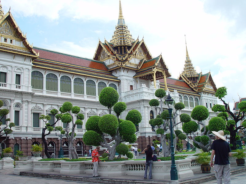
Larger Images
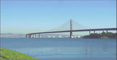
- The boroughs of Kensington
- Hôtel Internacionale
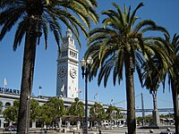
- National Museum
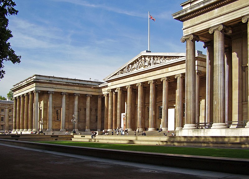
- Londinian Library
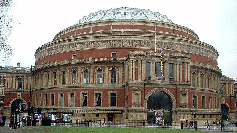
- Imperial Adeodatus Concert Hall
- Monument to the Conquerors of Space
- Arch of Victory, commemorating the defeat of Skgorrian and Atopianian troops
- The headquarters of the Council for Londinian Language
- People's Military Memorial
- Swanner Atrocities Memoral, inscribed with the names of those tortured and/or killed during his reign.
- Maddox Stadium, home of Kensington United F.C.
- Aequitas Stock Exchange
- Cormorant's Perch
