Difference between revisions of "File:Freedoniamap.jpg"
From NSwiki, the NationStates encyclopedia.
m |
(Political map of Freedonia (low)) |
||
| Line 1: | Line 1: | ||
| − | Political map of Freedonia | + | Political map of Freedonia (low) |
Latest revision as of 16:50, 7 April 2005
Political map of Freedonia (low)
File history
Click on a date/time to view the file as it appeared at that time.
| Date/Time | Thumbnail | Dimensions | User | Comment | |
|---|---|---|---|---|---|
| current | 16:50, 7 April 2005 | 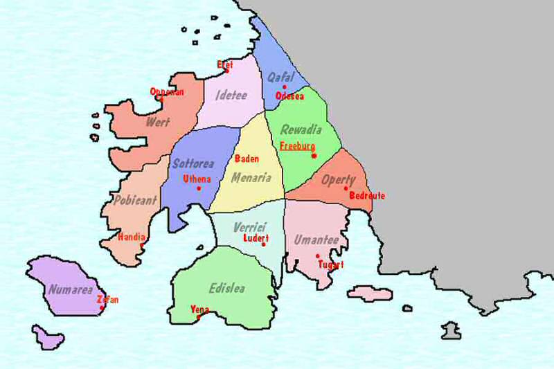 | 800 × 533 (39 KB) | Rufus T. Firefly (Talk | contribs) | Political map of Freedonia (low) |
- You cannot overwrite this file.
File usage
The following page links to this file:
