File:Maacalmap.jpg
From NSwiki, the NationStates encyclopedia.
No higher resolution available.
Maacalmap.jpg (295 × 262 pixels, file size: 18 KB, MIME type: image/jpeg)
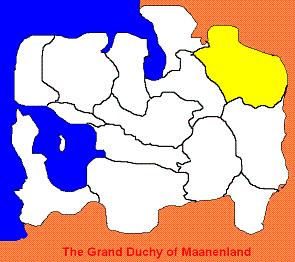
Map of Maanenland Calder
File history
Click on a date/time to view the file as it appeared at that time.
| Date/Time | Thumbnail | Dimensions | User | Comment | |
|---|---|---|---|---|---|
| current | 11:03, 27 September 2005 | | 295 × 262 (18 KB) | Maanenland Information (Talk | contribs) | Map of Maanenland Calder |
- You cannot overwrite this file.
File usage
The following page links to this file:
