Difference between revisions of "Landmarks in Stoklomolvi"
Stoklomolvi (Talk | contribs) |
Stoklomolvi (Talk | contribs) (→Geographical Landmarks) |
||
| Line 11: | Line 11: | ||
Image:Stok_geopicture7.JPG|The largest terrain deformity in Neil's Waste, a rather large lake and a hillock. | Image:Stok_geopicture7.JPG|The largest terrain deformity in Neil's Waste, a rather large lake and a hillock. | ||
Image:Stok_geopicture8.JPG|Field of Pyotr, photographed by a scientist from a snowmobile. | Image:Stok_geopicture8.JPG|Field of Pyotr, photographed by a scientist from a snowmobile. | ||
| + | Image:Stok_geopicture9.JPG|A lush field near [[Geography_of_Stoklomolvi|Sankt-Pyotrburg]], with the Eastern Mountain Range in sight. | ||
| + | Image:Stok_geopicture10.JPG|Another grassy plain near Vladistov with a bear foraging. | ||
| + | Image:Stok_geopicture11.JPG|A cannery built on a river for power. | ||
| + | Image:Stok_geopicture12.JPG|A large lake that is being primed for development. | ||
</gallery> | </gallery> | ||
Revision as of 20:55, 18 October 2007
Stoklomolvi has quite a varied environment. In the North, it is a frozen waste; in the South, there is lush farmland. There are also numerous famous buildings in Stoklomolvi as well.
Geographical Landmarks
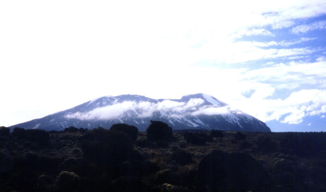
Mount Stuyonovich, as viewed from the east side.
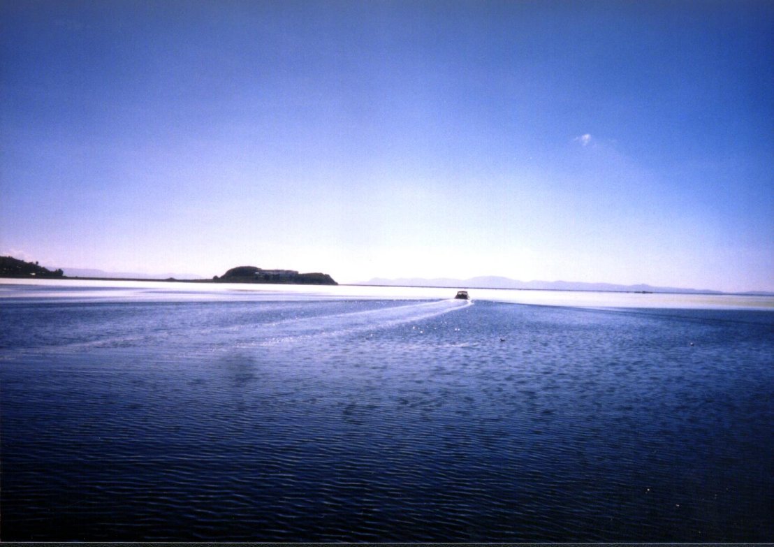
Lake Aleksandr, as viewed from a small fishing boat.
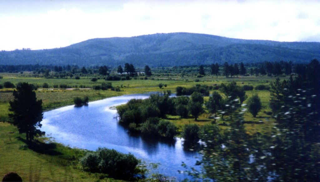
The Bering River, taken by a professor from a train.
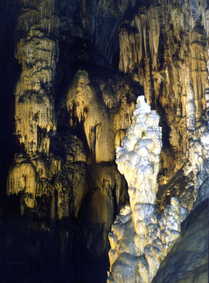
Cave underneath Neil's Waste, taken by a mining inspector.
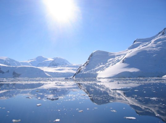
Eastern Sea, near the city of Petrovavlovsk- Kamchatka.
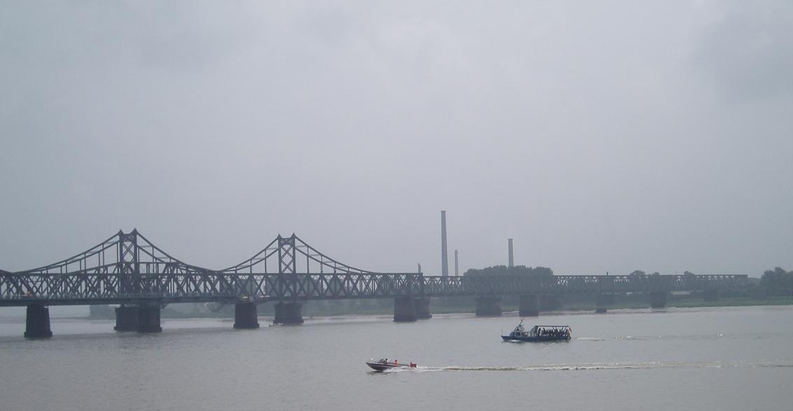
A rather industrialised portion of the Yalu River, photographed from the bank.
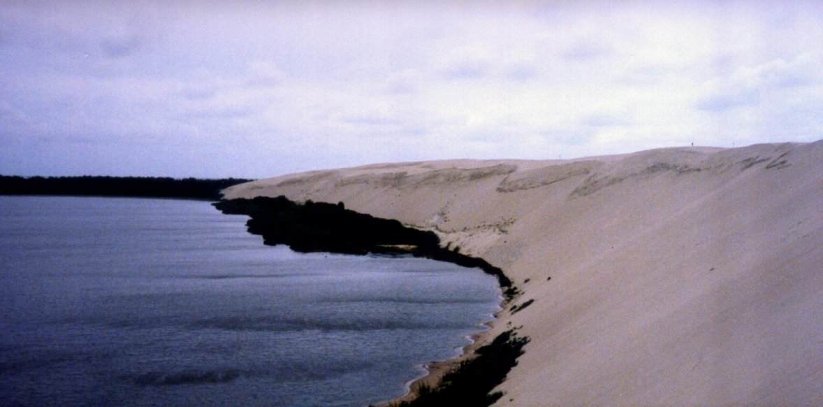
The largest terrain deformity in Neil's Waste, a rather large lake and a hillock.
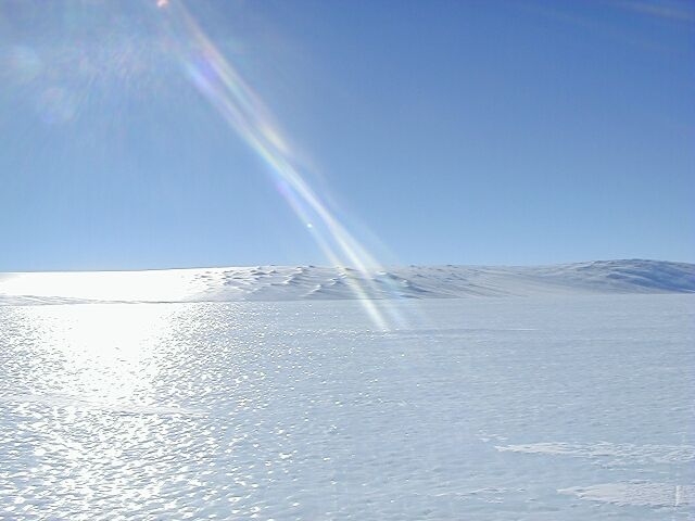
Field of Pyotr, photographed by a scientist from a snowmobile.
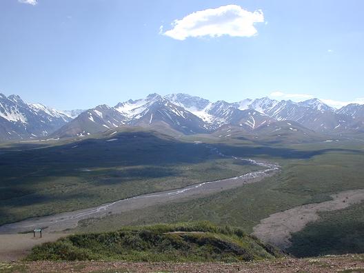
A lush field near Sankt-Pyotrburg, with the Eastern Mountain Range in sight.
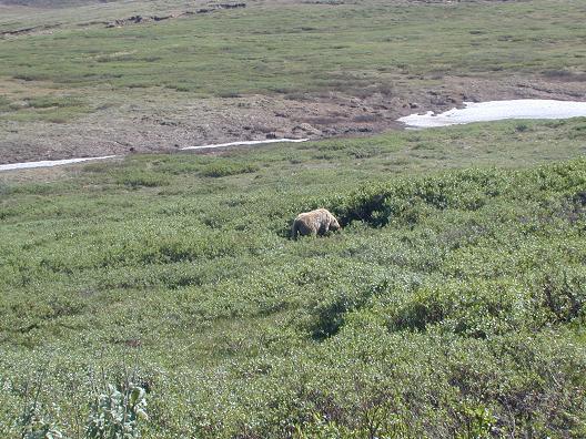
Another grassy plain near Vladistov with a bear foraging.
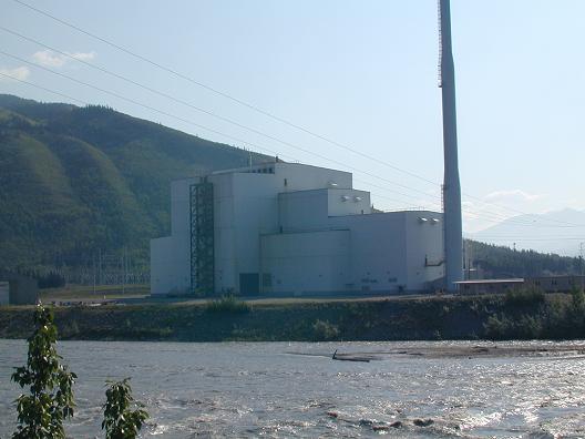
A cannery built on a river for power.
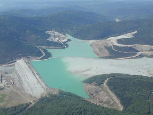
A large lake that is being primed for development.


